
We provide bespoke GIS (Geographical Information System) mapping services to help your customers visualise and navigate your locations in both 2D & 3D. This can be as simple as a printed or online map of your property or visitor centre, all the way up to detailed large scale bathymetric and aerial satellite data including topographic, population, growth or any number of information data sets available.
We can also create 3D printed relief maps as well as resin formed and cast bronze maps.
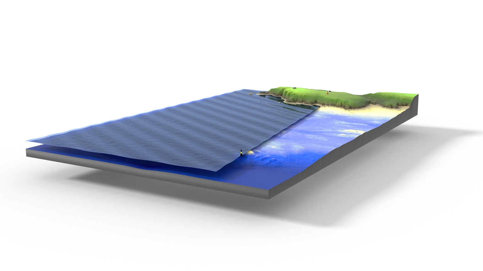
We can create our own aerial geo referenced LIDAR and photogrammetry data, as well as access commercially available survey data including marine and land based survey DEM’s in order to create the map, chart or visual you need.
We can make georeferenced mobile and application maps including rich features and interactive content such as location and proximity hotspots, video or audio data or display that data as georeferenced Augmented Reality content.
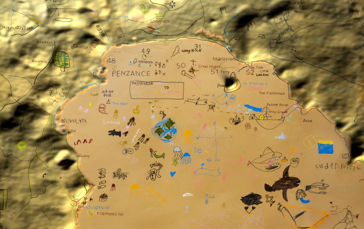
kids map

Runnelstone Reef

GIS_Mapping

NCI infographic
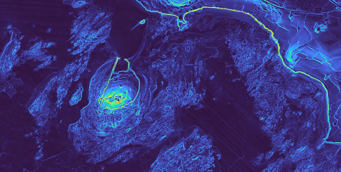
Lamorna Cove Bathymetry
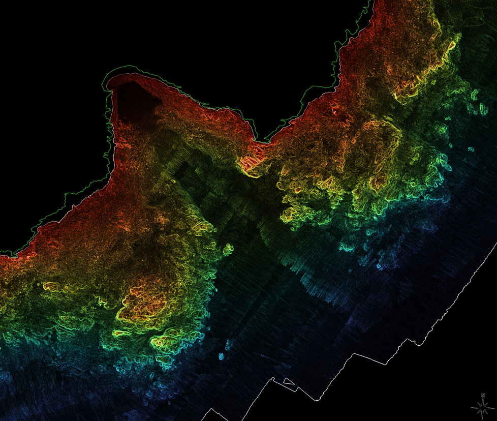
Mount’s Bay Bathymetry
RunnelStone infographic

Newlyn 3D print
A 3D printable tile of Newlyn in Cornwall.